
New: 14 Tools to Help You Optimize Land Mapping in ArcGIS Pro
Digitize legal land descriptions into precise, mappable boundaries for title validation and acquisition.
Are you mapping land rights in ArcGIS Pro and often juggling vague legal descriptions, tight tolerance requirements, and the pressure for precision?
If you are a GIS specialist, land surveyor, real estate developer, or land management professional, here’s a new way to address all of that and work faster, with more accuracy.
Pandell Parcel Pro Tools is a suite of 14 tools created by experienced GIS mappers for land professionals like you. Designed to run inside your ArcGIS Pro environment, these tools help you:
- Divide land using mathematically accurate quartering
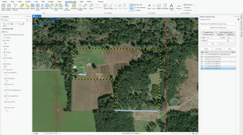
- Convert complex legal descriptions into precise polygons
- Automate workflows and cut mapping time by up to 40%
- And more!
Whether you’re mapping parcels from scratch or cleaning up legacy data, this new toolkit is built to make your job easier. Access Mathematically Accurate Mapping
Share This:
More News Articlesenergynow


